The Senior Environmental Specialist-World Bank Nigeria Office and Task Team Leader of the ACReSAL Project, Dr. Joy I. Agene has admonished the ACReSAL Project team to ensure the application of science and technology in project implementation processes for sustainable catchment management.
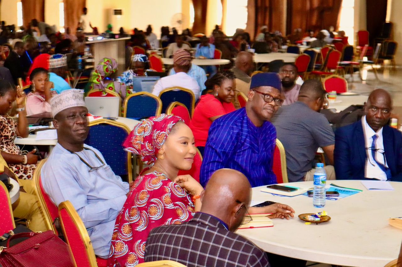
She gave the advice during the valedictory session of a 5-day training on the application of Geographic Information System (GIS) and Remote Sensing Technology carried out by National Centre for Remote Sensing (NCRS) for ACReSAL officers in Jos, Plateau State.
Dr. Joy highlighted that to have a saturated and sustainable catchment, we need to apply technology to delineate soil suitability and the nature of intervention to carry out. Hence, she cautioned that all ACReSAL technical officers by the virtue of the capacity received in Jos ought to know how to take site coordinates, stating that all data must be georeferenced and accurately captured.
“If you do not have the science, the technical know-how, when it comes to implementation of catchment management plans, you will not have results,” she said.
She called on states to tap into the presentations delivered by the resource persons and experts in the training, have dialogues with the three key sectors (Environment, Agriculture and Water Resources) of their respective states and identify policy options that will be integrated into the catchment management plans.
“This stage of the project is the time to go back to our states based on all the capacity staff have acquired including the soft skills, to sit down, form the snowflakes from the leadership training, delegate responsibilities, go to the field and deliver on the project result framework”.
Dr. Joy appealed to state project management units to ensure that ESS 6 (Environmental and Social Safeguards-6) is triggered before going into biodiversity conservation and protection of the ecosystem.
She applauded ACReSAL Team for commitment, dexterity, determination and hunger for knowledge which was demonstrated in the course of the training.
“I am a product of NCRS, the capacity in this centre is immense, the resources, not just the human resources but the data; software and know how is available here and that is why we spoke about the MOU between NARSDA, so that ACReSAL will continue to leverage on the resources available” she added.
In his remarks, the National Project Coordinator of the ACReSAL Project, Mr. Abdulhamid Umar revealed that the lectures notes received during the training have been motivating, educative and impactful considering its significance around water, environment and agriculture which are the focus of ACReSAL Project.
He acknowledged and commended the Director-General, National Space Research and Development Agency, Dr. Halilu Ahmad Shaba, the Director, National Centre for Remote Sensing, Jos, Dr. D.N. Jeb, and all the resource persons and facilitator for excellent coordination and transfer of knowledge through their capacities and competence while noting that the centre desires to be promoted to a degree awarding institution.
“For organizing an excellent training for ACReSAL field staff on GIS and Remote Sensing Technology, The National Centre for Remote Sensing, Jos has shown it is a wonderful institute with skills sets comparable to what is obtainable in the best university in the country” the NPC stated.
The Director, National Centre for Remote Sensing, Jos, Dr. D.N. Jeb, in his vote of thanks, on behalf of the DG, NARSDA, appreciated the World Bank for making the ACReSAL project a reality.
He commended the participants for being wonderful students, noting that they were so committed and attentive throughout the training period. He noted that the training will have a positive impact in the project implementation especially on catchment management plans.